CLIMBING, PADDLING AND FAMILY-FRIENDLY HIKING TRAILS
Hiking trails for active hikers and families with children
Repovesi National Park
Repovesi National Park is an attraction that should not be missed in any way while on holiday in Mäntyharju.
Repovesi is a national park in Mäntyharju and Kouvola. It covers an area of about 15 km².
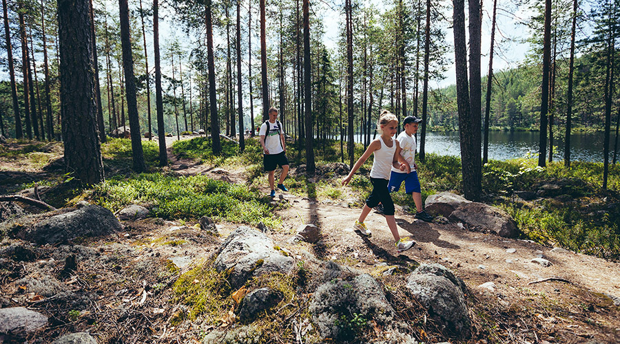
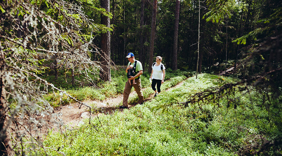
The park can be wandered around the year, and there are short hiking trails suitable for the whole family as well as long hiking trails.
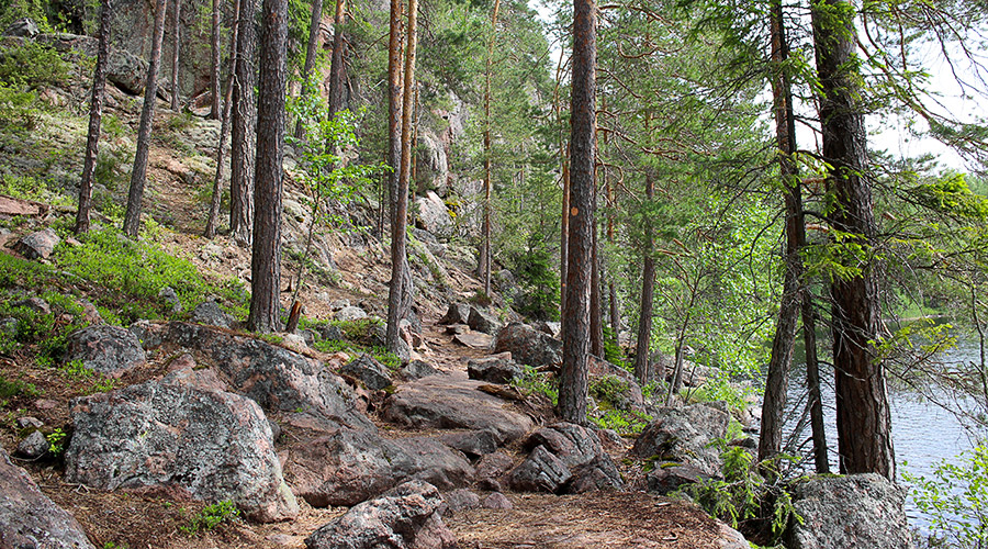
The National Park is the largest unbuilt forest and lake area in Southeast Finland, and the area offers an excellent opportunity to explore Finland’s biodiversity. There are rugged cliffs and different kind of forests in the area.
The National Park is one of the most popular attractions in Kymenlaakso and Southern Savonia and one of the Finland’s most popular national parks. Over 150,000 hikers annually visit the park.
There are two different hiking options to choose from when hiking in Repovesi National Park:
1) Hiking and mountain bike routes between the center of Mäntyharju and Repovesi National Park (starting point Mäntyharju center)
2) Hiking trails located in Repovesi National Park (starting point Repovesi)
Repovesi has three entrance gates.
1. Lapinlahti Entrance: Riippusillantie 55, 47910 Hillosensalmi (Kouvola)
2. Tervajärvi Entrance: Kivisilmäntie 720, 47910 Kouvola
3. The north entrance of Repovesi, Saarijärvi: Kuismantie 985, 52920 Voikoski (Kouvola)
When leaving Lake Korpijärvi, it is easiest to use the entrance of Lapinsalmi.
Contact information
Name of the attraction: Repovesi National Park
Address:
Lapinlahti: Riippusillantie 55, 47910 Hillosensalmi (Kouvola)
Tervajärvi: Kivisilmäntie 720, 47910 Kouvola
Saarijärvi: Kuismantie 985, 52920 Voikoski (Kouvola)
Open: All year round




Mäntyharju-Repovesi routes and trails
A hiking and mountain bike trails has been built between center of Mäntyharju and Repovesi.
The main trail for hiking and the mountain bike trail start in the center of Mäntyharju, the Kisala Sports Hall (Urheilutie 1, 52700 Mäntyharju / Kyttäläntie 21, 52700 Mäntyharju).
Hiking trail
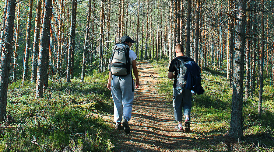
The approximately 33 km long hiking trail runs through the beautiful natural landscape of Mäntyharju, partly with the same trails to the mountain bike trail.
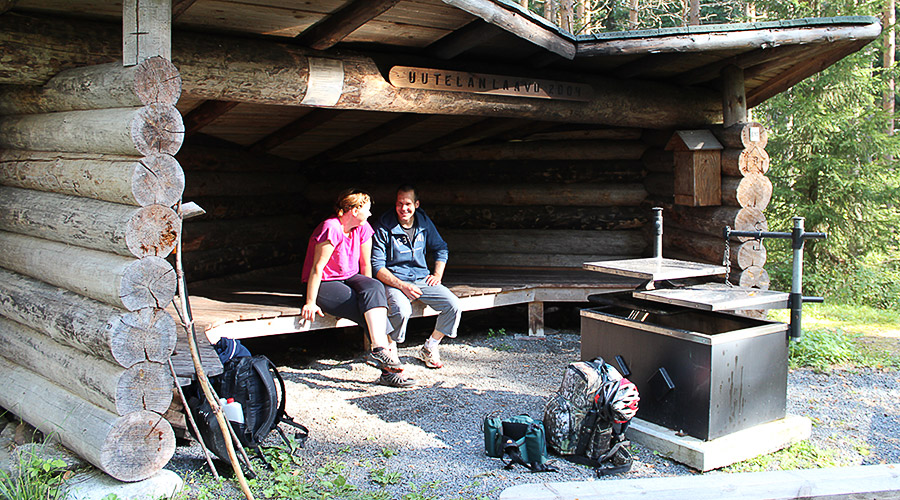
Along the way, there are both lean-tos and suitable resting places for accommodation.
Hiking usually takes two days, and along the route you can stay, for example, at Matkoslampi laavu, about 21 km from the starting point.
Mountain bike trail
The mountain bike route from the center of Mäntyharju to Repovesi National Park is also 33 km long. The route covers both dirt roads and off-road.
It is possible to cycle around the route in a day.
Routes for canoeing and kayaking
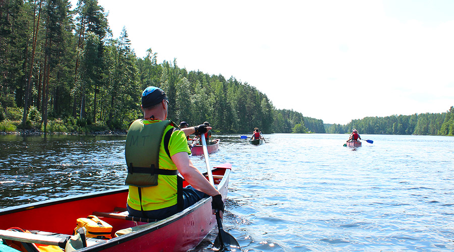
You can also go to the national park by paddling / kayaking.
The starting point can be, for example, the Kurkiniemi area in the center of Mäntyharju, the Miekankoski area on the west side of Mäntyharju center or Hillosensalmi area near Repovesi.
The Mäntyharju-Repovesi paddling route from the center of Mäntyharju in the Kurkiniemi area (starting point Asematie 11, 52700 Mäntyharju) is about 50 km long and takes about 2-3 days of paddling.
In the summer, canoes or kayaks can be rented in the center of Mäntyharju, from Linkkumylly equipment rental service (Asematie 10, 52700 Mäntyharju) and at the cafe Miekankosken kahvila (Miekankoskentie 942, 52700 Mäntyharju).
From both the center and Miekankoski you can go paddling to the lakes of Mäntyharju (trail is Keisarinlähde tour) and to the paddling route to Repovesi.
Canoes and kayaks nearby Repovesi can be rented from spring to autumn at the Seikkailuviikari equipment rental service (Repovedentie 2, 47910 Hillosensalmi). There is also a Seikkailuviikari’s self-service rental point at Lapinsalmi Entrance. Bookings can be made via Seikkailuviikari’s online booking system.


Attractions at the Repovesi National Park
The Ketunlenkki route is a 5 km long hiking trail that is suitable for the whole family. The departure and return points are at Lapinsalmi Entrance.
The Korpinkierros route is about 4,5 km long route on the shore of Olhavanlampi. Along the route is the highest mountain in the area, Olhavanvuori. The route is about 3 km from the entrance of Saarijärvi.
The Tervajärvi route is a 8 km long route around Tervajärvi. The departure and return points of the route are at the entrance of Tervajärvi.
The Kaakkurinkierros is the longest route in the area, with a length of 27 km. The route takes 1-3 days to get around and you can start the route from any entrance.
Attractions in the area
One of the best climbing sites in Southern Finland can be found at Repovesi. Olhavanvuori is a mountain that is more than 50 m high and its wall descends vertically to the shore of Olhavanlammi.
Mustalamminvuori has great views of almost the entire area of Repovesi, and Katajavuori has one of the most beautiful views of the area.
All climbing sites are best suited for families with older children, as climbing areas have big climbs and steep falls.
Attractions suitable for families with children
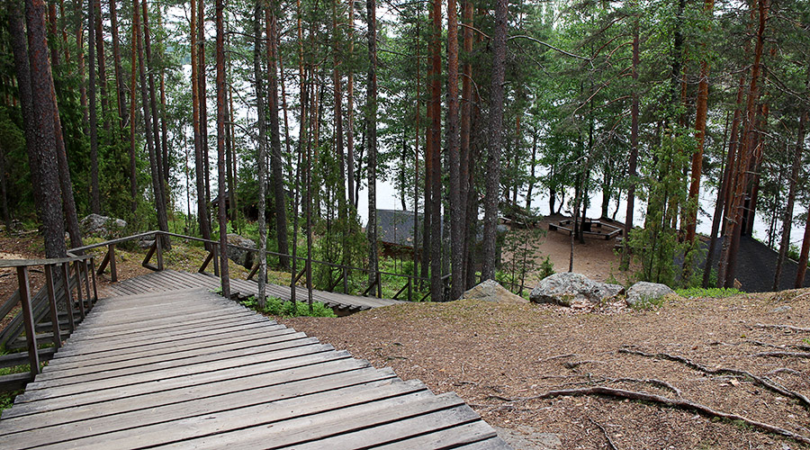
There are some places in Repovesi that can also be reached by prams or strollers, but the destination is best suited for families whose children are already walking on their own.
There are a lot of high cliffs and challenging climbing trails along the way, so take special care of small children when moving around the area. Therefore, Repovesi is best suited for families of school-age children.
The most popular route in the park is the 5 km long Ketunlenkki route, whose starting point is at the entrance of Lapinsalmi. The route runs from Lapinsalmi to Katajavuori, from there to Kapiavesi and then back to Lapinsalmi via Määkijänsalmi. The map of the route can be downloaded from the nationalparks.fi website: PDF
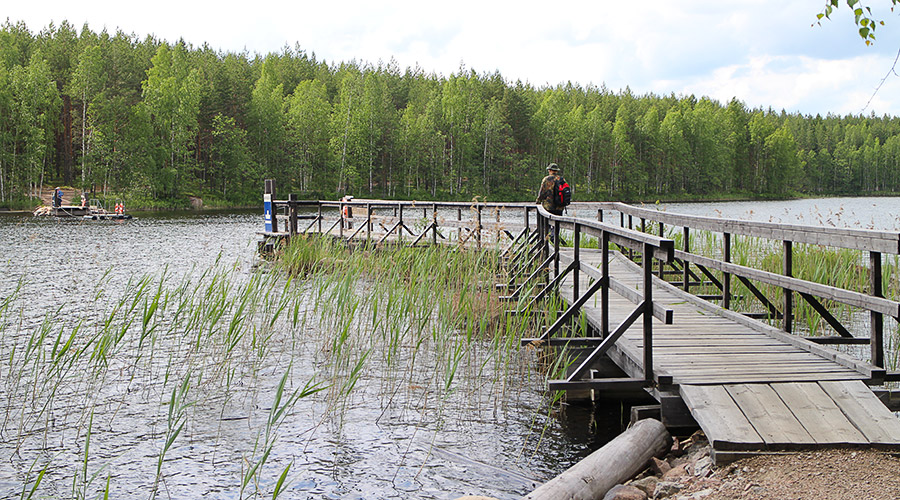
There is a hand-operated cable ferry, several resting places (with dry toilets) and great views of Katajavuori along the route. With smaller children, the route can be shortened to a 3 km route if you don’t climb to Katajanvuori.
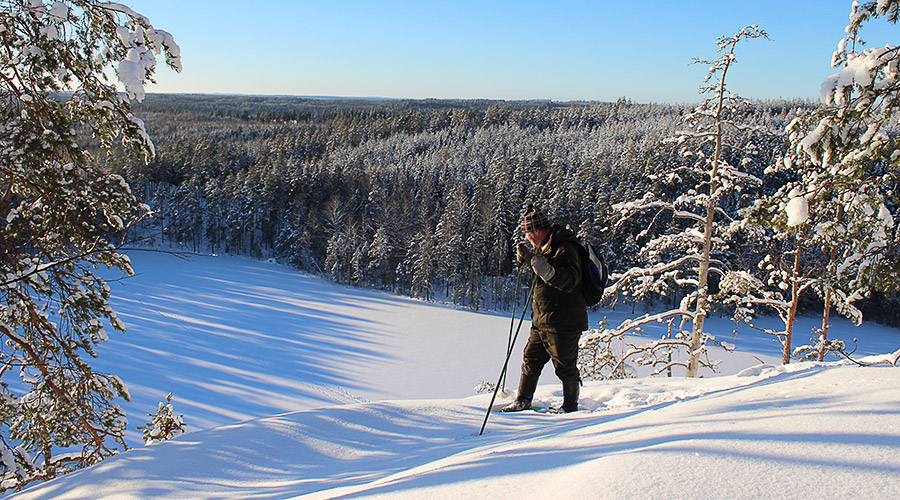
In the winter, Ketunlenkki is partially open, as the cable ferry is not in use in winter and the river can not be crossed by ice in winter.


Additional information
Province, location and region: Etelä-Savo (Southern Savonia), Mäntyharju, Repovesi (village)
Address: Riippusillantie 55, 47910 Hillosensalmi (Kouvola), Kivisilmäntie 720, 47910 Kouvola, Kuismantie 985, 52920 Voikoski (Kouvola)
Target group: Families with children, seniors, hikers
Distance from the center of Lake Korpijärvi: Approximately 53 km (approx. 45 min.) by car
Open: Open all year round, but nature trails are not open during snowy days
Trail length: Several routes of different lengths
Duration: From 2-3 h
Difficulty: Moderate, part of the trail is not suitable for young children
Equipment: Hiking boots, rain gear in the rain, campfire equipment
Please note: Prams and pushchairs can be used on some of the trails.
More information:
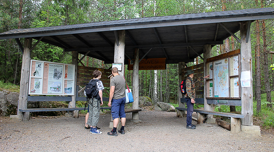
There is plenty of information about the services, routes and maps on the nationalparks.fi website: Repovesi. Downloadable PDF maps of hiking routes can be found on the Maps page.
The map of the area can be found, for example, in Metsähallitus’ Excursion Map service.
The destination can also be found on the outdooractive website and in the outdooractive app (available for download from app stores), where you can find maps of the destination.
For example, see the Outdooractive website for a route description of the Ketunlenkki trail.
There is also a lot of written descriptions of the destination on the Retkipaikka hiking website (website in Finnish, use e.g. Google Translator for translation):
https://retkipaikka.fi/koko-perheen-kotaretki-repoveden-kansallispuistoon/
Read other introductions on the Retkipaikka website.
Make sure the information is correct on the spot.
Maps and coordinates
Coordinates
karttapaikka.fi / National Land Survey of Finland – MapSite website:
N = 6780558.226 E = 491210.604 (ETRS-TM35FIN)
Apps
Download the Outdooractive app from the app stores
Google Play
Apple App Store

Keywords: activity, national park, hiking, paddling, biking, mountain biking, camping, outdoor activity, children, adults, seniors, winter, spring, summer, autumn
Image copyright owners:
Repovesi, mainimage and Mäntyharju-Repovesi trails: Copyright @ The municipality of Mäntyharju.
Lapinsalmi: Copyright @ Eeva Leskinen.
All other images: Copyright @ Outdoors Finland. License Creative Commons Attribution 2.0 Generic (CC BY 2.0).
Map: Copyright @ Tommolansalmi Holiday Centre / Illustrator Päivi Noroaho.
All rights reserved. The images on this website have been edited.