HISTORICAL FORTRESS AND MILL ENVIRONMENT AT SAVITAIPALE
Family-friendly hiking destination in nature
Kärnäkoski fortress, mill and old harbour
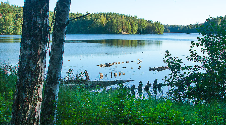
Kärnäkoski is a historical attraction and ancient monument in Savitaipale, next to the rapids on the shore of Lake Saimaa. The fortress is more than 200 years old and there are still ramparts left. Because the attraction is historical, remember to walk without damaging the area.
There are also old mill buildings in the area, and on the other side of the road there is a photographic nature trail that leads to the old harbour area with remnants of sunken ships. Near the harbour is the Vuorilinna lean-to where there is a fire place. There is also a dry toilet in the area.
Approximately 1 km from Kärnäkoski, there is another area, Partakoski, which has summer restaurant services and a marina.
Find images from Kärnäkoski from Instagram: #karnakoski.
Contact information
Name of the attraction: Kärnäkoski fortress
(Kärnäkosken linnoitus in Finnish)
Address: Partakoskentie 846, 54800 Savitaipale
Open: All year


Additional information
Province, location and region: Etelä-Karjala (South Karelia), Savitaipale, Kärnäkoski (village)
Address: Partakoskentie 846, 54800 Savitaipale
Target group: Families with children, seniors, hikers, partially accessible
Distance from the center of Lake Korpijärvi: Approximately 47 km (approx. 45 min.) by car
Open: Fortress and nature trail all year round, mill in summer, nature trail is not open during snowy days
Duration: 1-2 hours
Difficulty: Easy, the destination is also suitable for young children
Please note: The fortress and the mill are historical sites, so be careful when moving around the area, and any form of environmental damage is prohibited. In the area of the fortress and the mill, as well as the nature trail you can use prams and pushchairs and wheelchairs (for the most part).
More information:
More information about the destination can be found on the South Karelian Foundation for Recreation Areas’s website and its destination search page (cookies must be accepted to use the destination search).
The destination can also be found on the outdooractive website and in the outdooractive app (available for download from app stores).
See Outdooractive’s description of Kärnäkoski Fortress 1, description of Kärnäkoski Fortress 2, description of Kärnäkoski Fortress Trail, description of old port of Kärnäkoski and description of Kärnäkoski Fortress’ Hillside Fort’s lean-to shelter.
Kärnäkoski is also presented on the Saimaa Geopark website. On the website you can find a PDF version of the Kärnäkoski guide (save PDF).
More information on the site can be also found on the Partakoski villages website.
There is also a written description of the destination on the Retkipaikka hiking website (website in Finnish, use e.g. Google Translator for translation):
https://retkipaikka.fi/karnakosken-linnoitus-ja-mylly-savitaipale/
Make sure the information is correct on the spot.
Maps and coordinates
Coordinates
karttapaikka.fi / National Land Survey of Finland – MapSite website:
N = 6792124.749, E = 538185.815 (ETRS-TM35FIN)
Keywords: Attraction, activity, hiking, fortress, rapids, families with children, families, children, adults, seniors, hikers, outdoor exercise, spring, summer, autumn, winter
Image copyright owners:
Kärnäkoski: Copyright @ Päivi Noroaho.
All rights reserved. The images on this website have been edited.